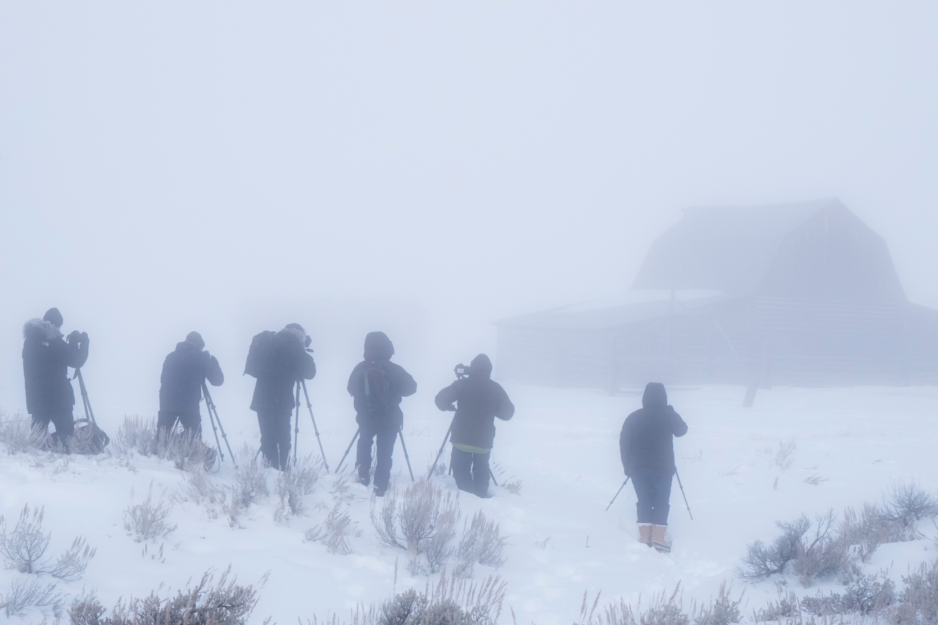
Heavy snow and strong winds are forecast to hit western parts of the United States—specifically in the Mountain West region—from Sunday, as the National Weather Service (NWS) issued winter weather advisories and warns those in affected areas to expect “dangerous conditions.”
The worst-affected locations appear to be Colorado and Wyoming, as areas within both states have been told to prepare for anywhere between 3 and 12 inches of snow to fall by Sunday night or Monday morning.
Areas Impacted by Heavy Snow
Here’s where conditions are expected to be most severe across the region.
According to the NWS weather advisories, alongside Colorado, areas in Montana and Wyoming are also likely to get some heavy snow and strong winds, lasting, in some cases, until Monday.
In Colorado, parts of the south central area, including the higher elevations of the eastern Sawatch and San Juan Mountains, could see between 5 and 10 inches of snow with winds reaching 45 mph until around midnight on Sunday. The NWS has warned that visibility will be reduced due to blowing snow, which is likely to make travel “very difficult.”
In central and western parts of the state, including the Flat Tops, Battlement Mesas, and the West Elk Mountains, as much as 12 inches of snow could hit, coupled with 45 mph winds, lasting through Sunday, until around midnight.
In Wyoming, south central and southeastern area, including the Sierra Madre and Snowy Ranges, are forecast to get between 6 and 12 inches of snow, especially across the higher elevations through Sunday and overnight, before petering out on Monday morning. Hikers, hunters, and snowmobilers have been warned that conditions could be “dangerous” as falling and blowing snow could reduce visibility, which could become seriously disorienting.
Drivers should prepare for “slippery” road conditions, especially along Interstates 25 and 90 north and east of Buffalo, the NWS says.
Parts of the north-central and northwest of the state are also likely to be affected by heavy snowfall from Sunday afternoon until Monday morning, as between 3 and 10 inches is expected to fall, which will make travel difficult—especially for the Powder River and Granite Passes—and potentially impact the Monday morning commute. Some counties, particularly northeast Johnson County, could also get strong winds, reaching 35 mph during this time.
In Montana, areas in the north central region along the Rocky Mountain Front could get up to 6 inches of snow, especially along Marias Pass, with lesser amounts forecast for the plains and foothills, until around noon on Sunday.
Between 4 and 9 inches of snow is forecast for some south central and south central‑eastern parts of the state, particularly the Pryor Mountains and the northern Bighorn Mountains near the Wyoming border, from Sunday afternoon until around noon on Monday.
Forecast for the Week Ahead: Is More Snow Expected?
After the weekend storm, conditions are expected to ease across the region, as the NWS predicts typical conditions for the time of year.
According to the seven-day outlook, there will be chances of snow showers, mainly in the afternoons and evenings. Daytime highs will generally range from the low-40s to the low-50s, with overnight lows in the mid‑20s. Winds will be gusty, especially from Sunday through to Thursday. But, despite the repeated chance of snow, little or no accumulation is expected, and the overall conditions will gradually become a bit warmer and drier by next weekend.
What the Advisory Means—and How to Stay Safe
A NWS weather advisory is issued when winter conditions are expected to cause significant inconvenience or hazardous travel, but aren’t severe enough to meet the criteria for a warning, such as a Winter Storm Warning or an Ice Storm Warning.
For winter weather, an advisory often covers freezing rain, light ice accumulation, sleet, or a few inches of snow—conditions that can still make roads slippery, reduce visibility, and disrupt daily routines.
Unlike a winter weather watch, which signals a possible threat, an advisory means hazardous weather is likely and already impacting or about to impact the area.
Even when conditions don’t rise to warning levels, winter weather advisories should be taken seriously, especially by drivers, older adults, and anyone who has to travel.
The NWS recommends:
- Limit travel if possible, particularly during early‑morning and evening commute hours, when untreated roads are the most dangerous
- If driving is unavoidable, drivers should slow down and increase the distance between the car in front
- If leaving the house, dress in warm, layered clothing
- Check local forecasts and road conditions frequently, as advisories can be upgraded to warnings if conditions worsen
- Prepare homes and vehicles with emergency kits, flashlights, blankets, and extra calorie-dense, non-perishable food and also drinking water in case of power outages or travel disruptions.
Officials also urge people to watch for rapidly changing conditions, because light freezing rain or sleet can quickly lead to dangerous ice accumulation, even when snowfall totals seem low.
Related Articles