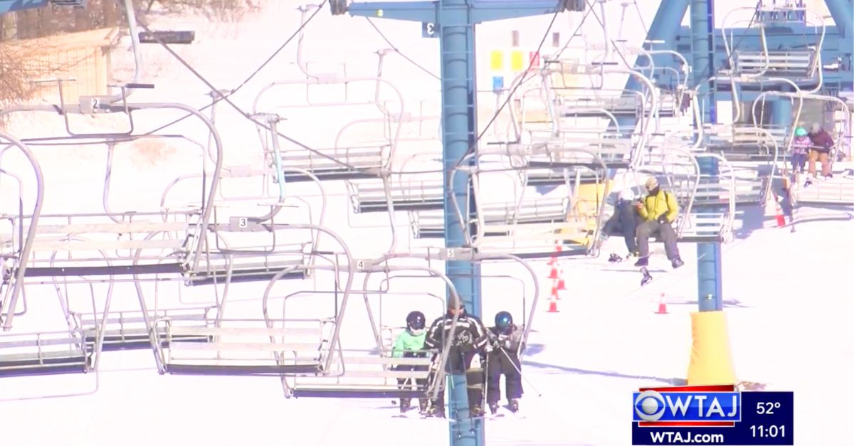
Up to 20 inches of snow, 70 mph winds and freezing temperatures are set to hit parts of the western U.S., with forecasters warning of dangerous travel conditions and possible disruptions across five states.
The National Weather Service (NWS) says the worst conditions will hit mountainous areas of Montana and Wyoming, where heavy snow and strong winds could reduce visibility, close roads and make travel hazardous through Friday. Here’s where conditions are expected to be most severe.
Where Conditions Will Be Most Severe
The NWS is warning that from Thursday, the following states are expected to get heavy snow, with high winds, or freezing temperatures: Montana, Wyoming, Idaho, California, and Utah.
Mountain regions across Montana and Wyoming are forecast to see the highest snowfall totals and strongest winds, with some areas facing blizzard-like conditions.
Montana
Multiple mountain ranges in Montana are expected to be hit by the strongest conditions.
The Absaroka, Beartooth, and Crazy Mountains could receive between 10 and 18 inches of snow, with wind gusts reaching 70 mph through Friday morning.
Elsewhere, including the Judith Basin region and surrounding foothills, snowfall of up to 8 inches is expected, along with winds up to 50 mph. Officials warn that blowing snow could make travel difficult and reduce visibility on major roads.
Eastern areas near Glacier National Park could also see up to 8 inches of snow in higher terrain, with lighter amounts at lower elevations but continued strong winds.
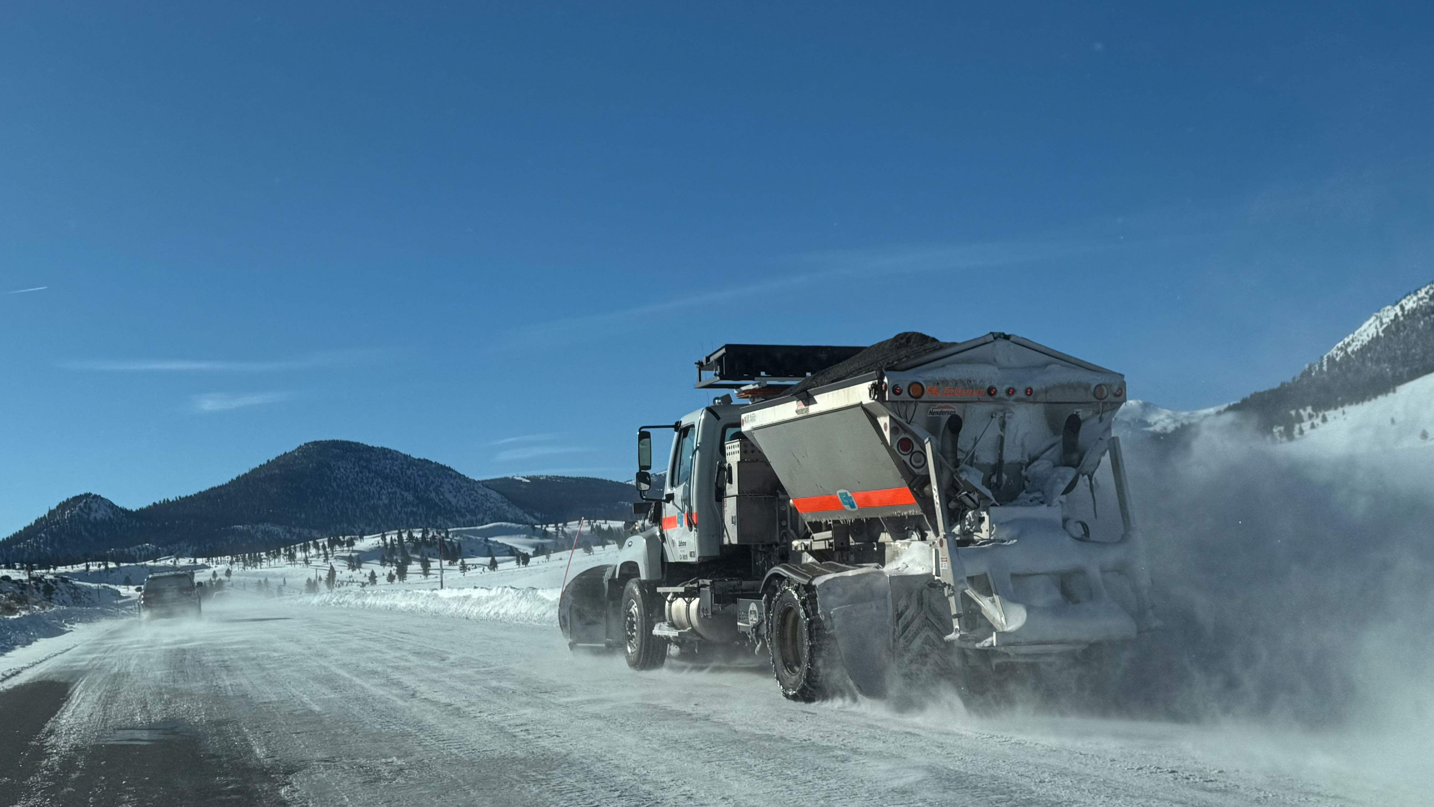
The NWS has warned of hazardous driving conditions, possible road closures, and disruptions to infrastructure across parts of the state.
California
Temperatures are forecast to drop to around 30 to 31 degrees Fahrenheit across parts of southern, northwestern, northeastern, and central Trinity, northern Lake, and northeastern interior parts of Mendocino, until Thursday morning.
Wyoming
Parts of the northeast Bighorn Mountains could see between 6 and 12 inches of snow and 50 mph winds until late Thursday night.
Areas within the Yellowstone National Park, including the cities of Lake, Old Faithful, and Mammoth, could see snow accumulations ranging from 1 to 12 inches, with up to 18 inches of snow expected across the higher peaks—particularly over the Pitchstone Plateau in the southwest region of the park—along with winds reaching up to 45 mph until Thursday night.
Across the Teton and Gros Ventre Mountains, between 6 and 12 inches of snow are forecast for areas above 7,500 feet, and up to 20 inches of snow are forecast along the highest elevations of the Teton Mountains—winds will also reach up to 50 mph. These conditions are likely to last until Thursday evening. The NWS has warned that travel across the Teton and Togwotee Passes could be difficult.
Up to 10 inches of snow are likely to fall across the Salt River and Wyoming Ranges—up to 15 inches is forecast for the highest peaks—with winds reaching up to 50 mph, until Thursday night. Travel across the Salt River Pass is likely to be “difficult.”
Idaho
The Big Lost Highlands, Copper Basin, Frank Church Wilderness, Lost River Range, the Sawtooth Mountains, Stanley Basin, and the Sun Valley region could get up to 6 inches of snow in areas above 6,500 feet, and winds gusting around 45 mph until Thursday morning.
The Big Hole and Centennial Mountains, including the Island Park area, along with the Bear River and Caribou Ranges, could get between 5 and 9 inches of snow and 45 mph winds until around midnight on Thursday.
Elk City, Dixie, Georgetown Lake, Butte, Highway 12, from Garrison to Elliston, and MacDonald and Homestake Passes may get up to 5 inches of snow in the valleys, up to 10 inches at pass level, and over 12 inches across the highest terrain, by around noon on Friday.
Utah
Castle Country, eastern and western parts of Juab and Millard, the Sanpete and Sevier Valleys, the western Uinta Basin, and parts of southwest Utah could experience sub-freezing temperatures—falling between the low 20s and 30s—on Thursday morning and overnight on Thursday into Friday morning.
Temperatures are expected to fall to 30 degrees Fahrenheit across eastern parts of Box Elder County overnight Thursday into Friday morning.
Outlook
The NWS says the system will continue to bring snow, wind, and freezing temperatures through Thursday and into Friday, particularly in higher elevations.
Officials advise travelers to check local forecasts and road conditions before setting out, especially in mountainous areas where rapidly changing weather could create hazardous conditions.
Related Articles