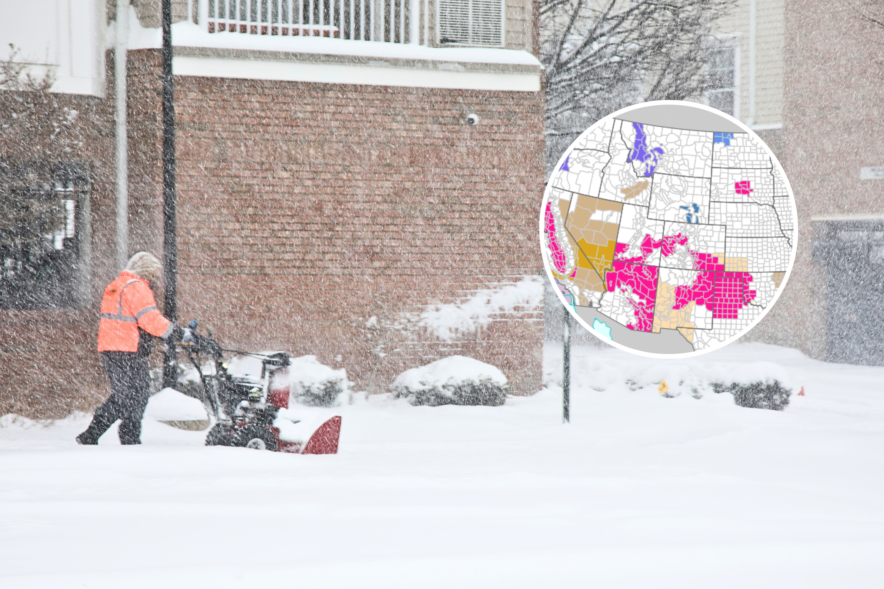
Heavy late‑season snow is set to return to parts of the Pacific Northwest and northern Rockies this weekend, with hazardous conditions expected in higher elevations.
Multiple winter weather advisories are in effect across Washington, Oregon, and Montana, with some of the highest elevations expected to see snowfall totals approaching a foot or more, according to the National Weather Service (NWS).
What To Expect
- Snow is expected to continue into Saturday and, in some areas, into Sunday, particularly at higher elevations where accumulation is greatest.
- Officials urged drivers to check road conditions before traveling through mountain passes, and advised those heading outdoors to prepare for rapidly changing weather.
- Forecasters across all three states stressed that while this is not an extreme winter storm by mid‑season standards, the timing—mid‑May—increases the risk for those caught off guard.
- Mountain recreation areas, including hiking trails and high‑elevation roads, could quickly shift from spring‑like to winter‑like conditions, with slick surfaces, reduced visibility and cold temperatures.
- Officials warned the backcountry areas in Montana could become dangerous, with cold and wet conditions increasing the risk of hypothermia.
Washington: Snow To Impact Mountain Passes
In north‑central Washington, the NWS in Spokane said late‑season snow will continue affecting higher elevations, particularly around Stevens Pass.
Snow accumulations of 6 to 8 inches are expected above 4,000 feet through Saturday morning, with road conditions turning slippery during periods of moderate to heavy snowfall.
Forecasters warned that the combination of snow and elevation could create challenging travel conditions overnight, particularly for drivers crossing mountain routes.
Oregon And Southern Washington: Heaviest Snow In The Cascades
The most significant snowfall totals are expected across the Cascade Mountains in Oregon and southern Washington, where multiple advisories remain in place through Saturday night.
The NWS in Portland and Pendleton warned that snow levels above 4,000 to 5,500 feet could see 4 to 8 inches, with the heaviest snowfall pushing into 12 to 18 inches in the highest terrain.
Mountain passes including Santiam Pass, Government Camp and Willamette Pass are most likely to see accumulating snow, with roads and bridges turning slick, especially during heavier bursts.
Forecasters also warned that periods of heavier snowfall could reduce visibility at times.
Montana: Snow And Strong Winds In The High Country
In Montana, the NWS in Great Falls and Missoula has issued Winter Weather Advisories covering large portions of the Continental Divide and surrounding mountain ranges.
Snowfall totals are expected to range from 2 to 8 inches across most mountain passes, with isolated higher totals of up to 12 inches in the highest peaks.
Winds gusting as high as 40 mph may produce blowing snow and reduce visibility.
Officials warned that conditions in the backcountry could become particularly dangerous, with cold, wet weather increasing the risk of hypothermia for anyone unprepared.
Several advisories note falling snow levels and periods of heavier snow Saturday into Sunday.
Related Articles