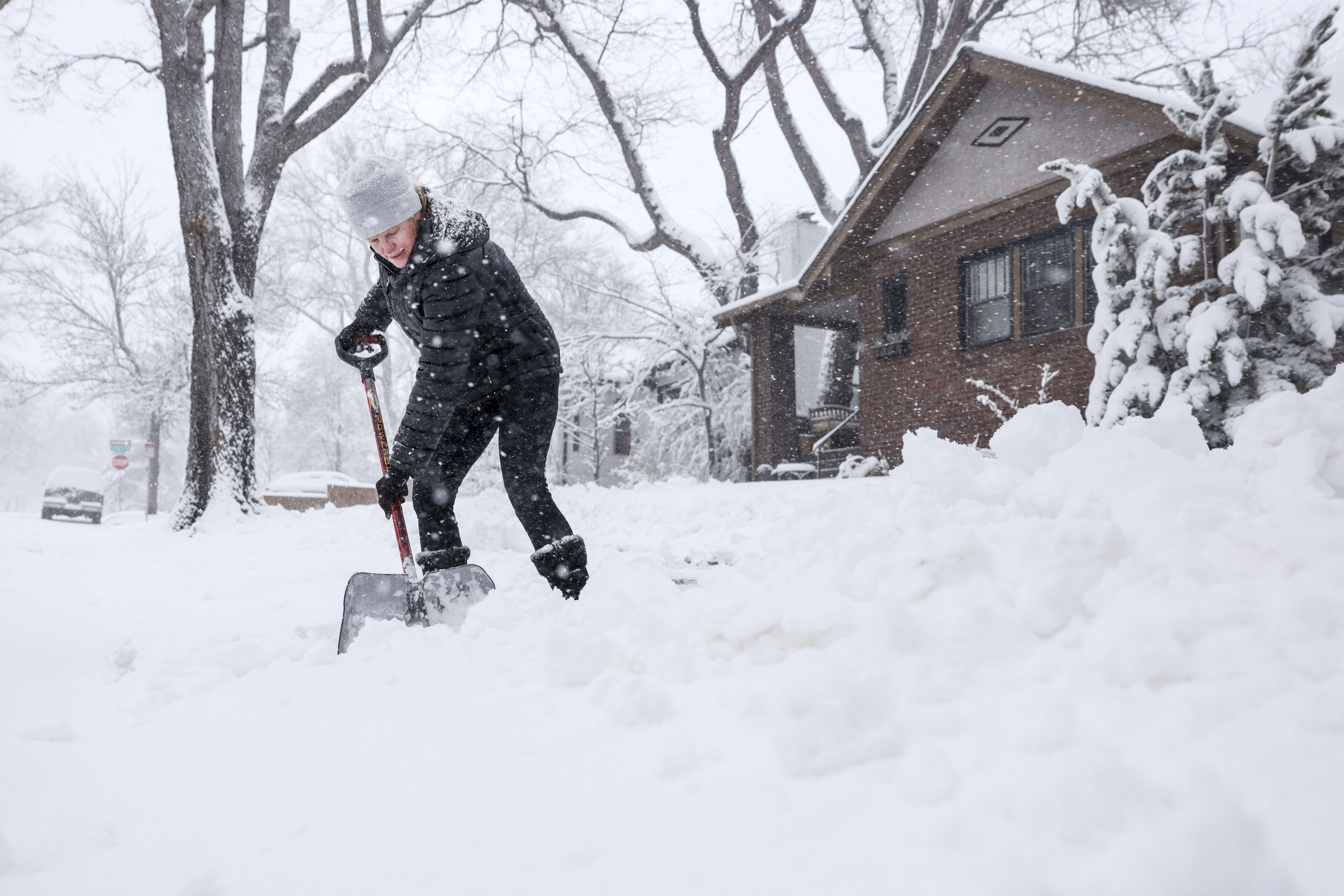
Multiple winter weather warnings for heavy snow—as much as 20 inches—have been issued to parts of Colorado, New Mexico and Alaska as the National Weather Service (NWS) warns residents and drivers that snow-covered roads could make travel “very difficult,” especially through the end of the week.
Rocky Mountains Face Significant Late-Season Snow
In southern Colorado, winter storm watches are in place from Thursday morning through Friday, covering the Sangre de Cristo Mountains, Wet Mountains, Teller County, Rampart Range and Pikes Peak. Forecasters say between 6 and 12 inches of snow is possible below 11,000 feet, with as much as 20 inches likely at higher elevations, creating snow-packed, slushy and slippery roadways. The NWS is also warning that the wet, heavy snow could also bring down tree branches and cause isolated power outages.
Just south of the state line, the Sangre de Cristo Mountains and Raton Pass in northern New Mexico are also under a winter storm watch from Thursday morning until Friday evening.
Snowfall totals are expected to reach between 3 and 8 inches in areas up to 9,500 feet, with up to 14 inches expected above that. The heaviest snow is forecast to fall late—on Thursday night into Friday morning—increasing the risk of hazardous driving conditions, especially through the mountain passes.
Blowing Snow Continues in Northern Alaska
Meanwhile, in Alaska, winter weather advisories remain in effect through Wednesday and into Thursday for parts of the western Arctic Coast and the central Brooks Range, including Point Lay and Atigun Pass along the Dalton Highway.
Though the snowfall amounts are expected to be lighter than those in Colorado and New Mexico—generally 1 inch along the coast and between 3 and 6 inches along the mountain passes—strong winds gusting up to 30 mph are expected to cause blowing snow, which could sharply reduce visibility, making travel difficult, especially overnight on Wednesday and over higher terrain.
Dangers of Heavy Snow and How To Prepare
Heavy, wet snow can snap tree limbs, down power lines and make driving difficult, particularly across mountain terrain.
Blowing snow can reduce visibility to near zero, increasing the risk of collisions and stranded motorists.
Officials recommend these steps for residents in affected areas:
- Avoid nonessential travel, especially through mountain passes.
- Carry winter emergency kits, which include spare clothes; blankets; shovels; nonperishable, calorie-dense food; drinking water; and a flashlight with spare batteries—if travel is unavoidable.
- Prepare for power outages by charging devices and having a backup heat source.
- Monitor updated forecasts and alerts, as conditions may change rapidly.
The NWS is advising residents to stay alert and be prepared as spring snowstorms continue to disrupt travel across large areas of the western and northern U.S.
Related Articles