The peak of the storm lands on Tuesday evening, which is also Cinco de Mayo, so anyone driving in the zone after dark will be sharing the road with holiday traffic on top of active chain controls and deteriorating mountain routes.
Current Status
- I-80 Wyoming (Cheyenne to Rawlins): open, light/high-profile restriction expected Monday night
- I-25 north (Cheyenne to Casper): open, snow and wind impacts Tuesday
- I-70 west of Denver: open, chain controls likely Tuesday afternoon
- US-34 through Rocky Mountain National Park: open, expected to close Tuesday
- Highway 14 over Cameron Pass: summit deteriorating
What Changed
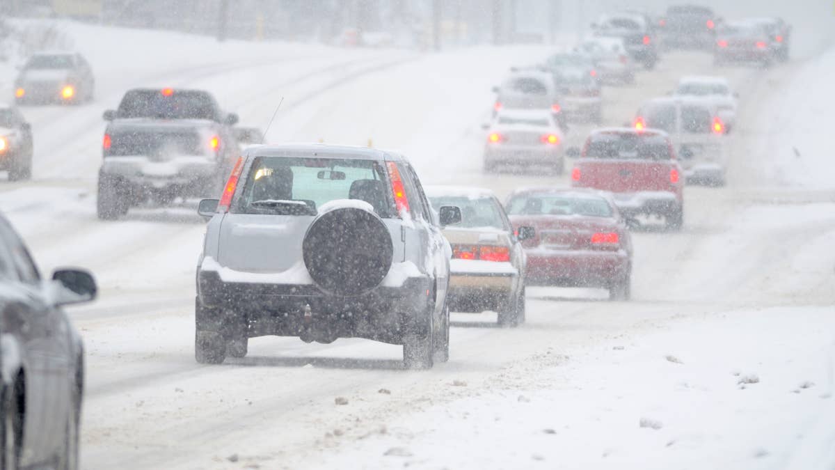
The watches went to warnings overnight. NWS Cheyenne issued at 2:41 AM MDT. NWS Denver/Boulder issued just before 1 AM. The Weather Prediction Center is holding heavy snow risk at HIGH for both Tuesday and Wednesday across the Rockies.
I-80 Summit, Wyoming
The Winter Storm Warning here covers I-80 between Cheyenne and Laramie. The interstate climbs to about 8,640 feet at the top. Forecast: 8 to 16 inches from 9 PM Monday through noon Wednesday MDT.
This stretch closes a lot. WYDOT's monthly closure data has southern Wyoming at or near the top of the country in almost every winter month, and 8 to 16 inches at the Summit makes a multi-day closure close to certain.
What to watch for: WYDOT will post a "light/high-profile vehicle restriction" before any full closure. Empty trailers, RVs, campers, and passenger vehicles towing trailers get pulled off; loaded freight keeps running. Once that's posted, full closure usually follows within hours, and once the gates come down at the Cheyenne and Laramie ramps, you're not getting back on until WYDOT lifts it. The closure radio on AM 1610 carries the updates.
The historic problem spot is the stretch west of Rawlins toward Bitter Creek and the Continental Divide. Drift heights there have hit four feet in past storms, which means rotaries and motor graders rather than regular plows.
Elk Mountain
A separate Winter Storm Warning covers Arlington and Elk Mountain along I-80. Totals here are smaller, 5 to 10 inches, but Elk Mountain produces multi-truck pileups out of proportion to its snowfall numbers. The grade is steep, the crosswinds funnel between the Snowy Range and the Medicine Bow, and once the first truck jackknifes the rest of the queue can't get going again on the climb.
Northern Colorado
The Winter Storm Warning for northern Colorado covers 10 to 24 inches across the Front Range foothills, the Medicine Bow Range, and Rocky Mountain National Park. The bulletin from NWS Denver/Boulder puts it plainly: travel could be "very difficult to impossible at times, especially late Tuesday."
Named in the warning: Estes Park, Nederland, Red Feather Lakes, Cameron Pass.
Affected routes:
- US-34 through RMNP: likely closed Tuesday
- CO-7 / Peak to Peak Highway: chain controls, possible closure
- Highway 14 over Cameron Pass: summit closure likely
- Western approaches to Boulder and Fort Collins: heavy wet snow Tuesday morning
Through-Traffic
Sierra warnings are still active and I-70 west of Denver is also under HIGH heavy snow risk, so east-west travel across the central and southern Rockies is going to be slow or stopped through Wednesday across most of the corridor. The alternates are I-90 north or I-40 south, both of which add hundreds of miles.
If You Are on the Road
- Check before every leg, not the night before. wyoroad.info, cotrip.org, or 511.
- If a restriction goes up on I-80, plan to stop in Cheyenne, Laramie, or Rawlins rather than at a smaller exit, since those are the towns with hotel capacity.
- Carry chains regardless of drive type. Colorado's Traction Law runs through May 31, and AWD doesn't exempt you.
Storm tapers Wednesday afternoon, with warming returning Thursday.